
NABETNABET-accredited Category A exploration agency
Ministry of Mines, Govt. of IndiaEmpanelled by the Ministry of Mines, Govt. of India
ISO 9001:2015Certified
Since 2011
Home / Environments
Environments we explore

One cross-section, six environments

From inland terrain to the continental shelf, the same team surveys, samples, interprets and evaluates. Select a station on the profile.

Land: Geological and mineral exploration on land
31projects

Land

Geological and mineral exploration on land

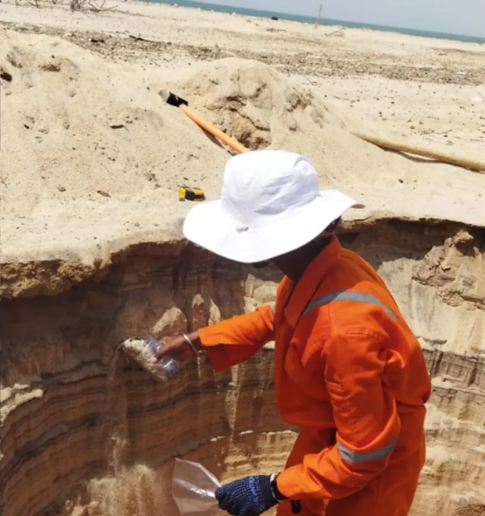
Field geology, drilling and laboratory work, from regional targeting to preliminary exploration of mineral blocks.

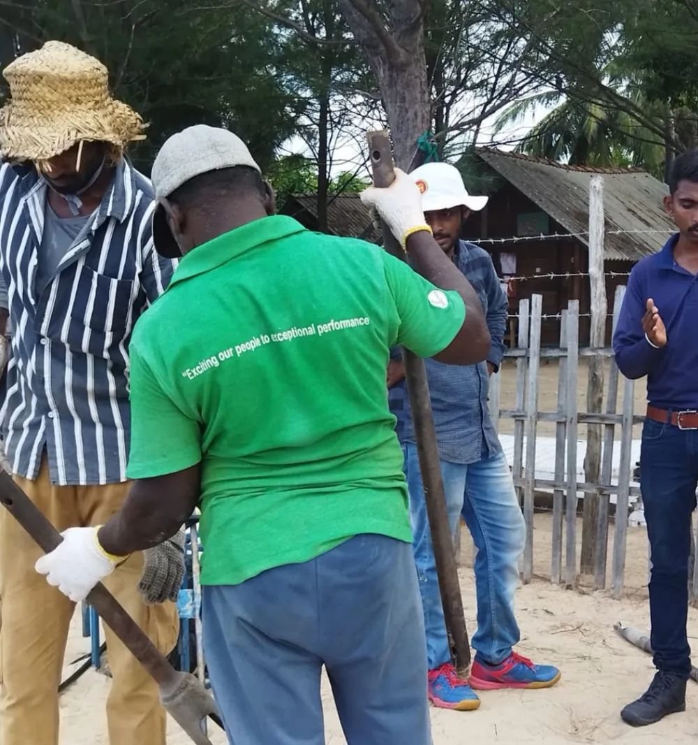
  • Geological mapping, topographic surveys and borehole fixing
  • G4 to G2 exploration for critical minerals, bauxite, laterite and limestone
  • Resource estimation and orebody modelling
  • Landslide-prone area studies; SPT drilling in urban areas
  • Drone volume estimation of legacy waste dumps
View land projects
Rivers: Hydrographic and sediment investigations
9projects

Rivers

Hydrographic and sediment investigations

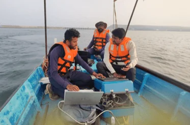
River-bed mapping and sediment sampling, including evaluation of sand as a resource.

  • Bathymetry and river-bed mapping
  • Grid-based sediment sampling and granulometric studies
  • Sand-resource evaluation in rivers and creeks
  • Current, tide and bathymetry data for hydrodynamic modelling
  • Siltation removal and riverbank protection investigations
View rivers projects
Lakes & reservoirs: Bathymetry, storage capacity and siltation
29projects

Lakes & reservoirs

Bathymetry, storage capacity and siltation

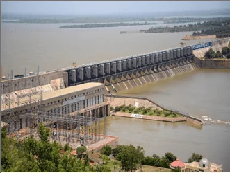
Capacity and sediment assessments for dams and reservoirs, by boat, drone and satellite.

  • Reservoir bathymetry with single-beam dual-frequency echo sounder
  • Total Station and drone topographic surveys at full reservoir level
  • Storage–elevation curves and siltation analysis
  • Lake bathymetry and carrying-capacity studies
  • SAR-based sedimentation assessment for the Central Water Commission
View lakes & reservoirs projects
Coast: Beach, sediment and mineral studies
30projects

Coast

Beach, sediment and mineral studies

Beach profiling, coastal protection programmes and heavy-mineral exploration along coasts and dunes.

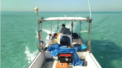
  • Beach profiling with DGPS and Total Station
  • Coastal protection and management programme consultancy
  • Beach and dune exploration for vanadium, titanium and heavy minerals
  • Marine ecological and fisheries mapping
  • Turnkey beach-sand solutions: exploration, mining, beneficiation, metal extraction
View coast projects
Nearshore: Hydrographic, geophysical and geotechnical investigations
16projects

Nearshore

Hydrographic, geophysical and geotechnical investigations

Surveys and ground investigation for ports, harbours, breakwaters and jetties.

  • Nearshore and inshore profiling and bathymetry
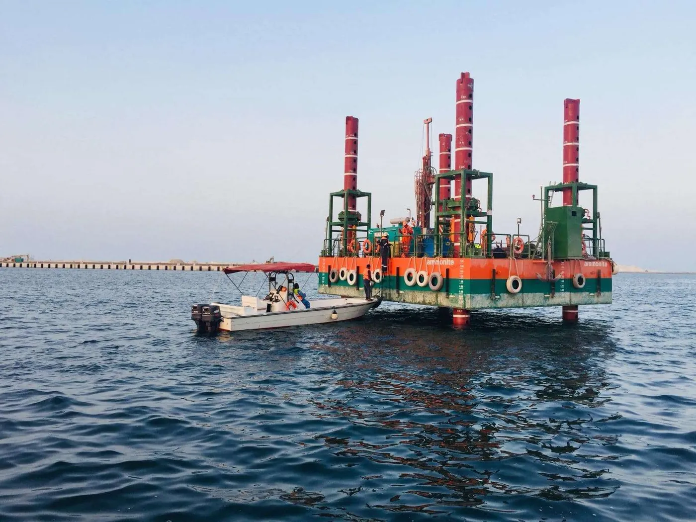
  • Marine geotechnical investigation for breakwaters and jetties
  • Side-scan sonar and sub-bottom profiling for port development
  • Hydrographic surveys for ports and harbours
  • Tide observations and data collection for EIA clearances
View nearshore projects
Offshore: Marine geophysics, geotechnics and resource studies
14projects

Offshore

Marine geophysics, geotechnics and resource studies

Offshore sand, limemud and polymetallic resources: from survey through modelling to mining scoping.

  • Bathymetry and sub-bottom profiling for offshore sand supply (Qatar)
  • 3D geological modelling and resource estimation of marine sand
  • Polymetallic nodules and crusts: geological assessment, Andaman Sea
  • Offshore limemud block selection and dredge-mining scoping
  • Offshore mining technology collaboration with Royal IHC, Netherlands
View offshore projects
Get in touch

Bring us the terrain and the question

Tell us about the site, environment or resource. We will come back with a proposed approach.

Send your query

This opens your email app with the message addressed to oed@geomarinesolutions.in.