 Minerals
01
Critical & strategic minerals
Vanadium, gallium, REE, niobium, graphite and bauxite: NMEDT exploration from reconnaissance to preliminary stage.
Mineral exploration NABET-accredited Category A exploration agency
 Empanelled by the Ministry of Mines, Govt. of India
Exploring Earth & Ocean
A science and technology services company: geology, geophysics, hydrography and resources across land, rivers, reservoirs, coasts and the seabed.
Offices in Mangalore, India and Ghana, West Africa
MineralsVanadium, gallium, REE, niobium, graphite and bauxite: NMEDT exploration from reconnaissance to preliminary stage.
Mineral exploration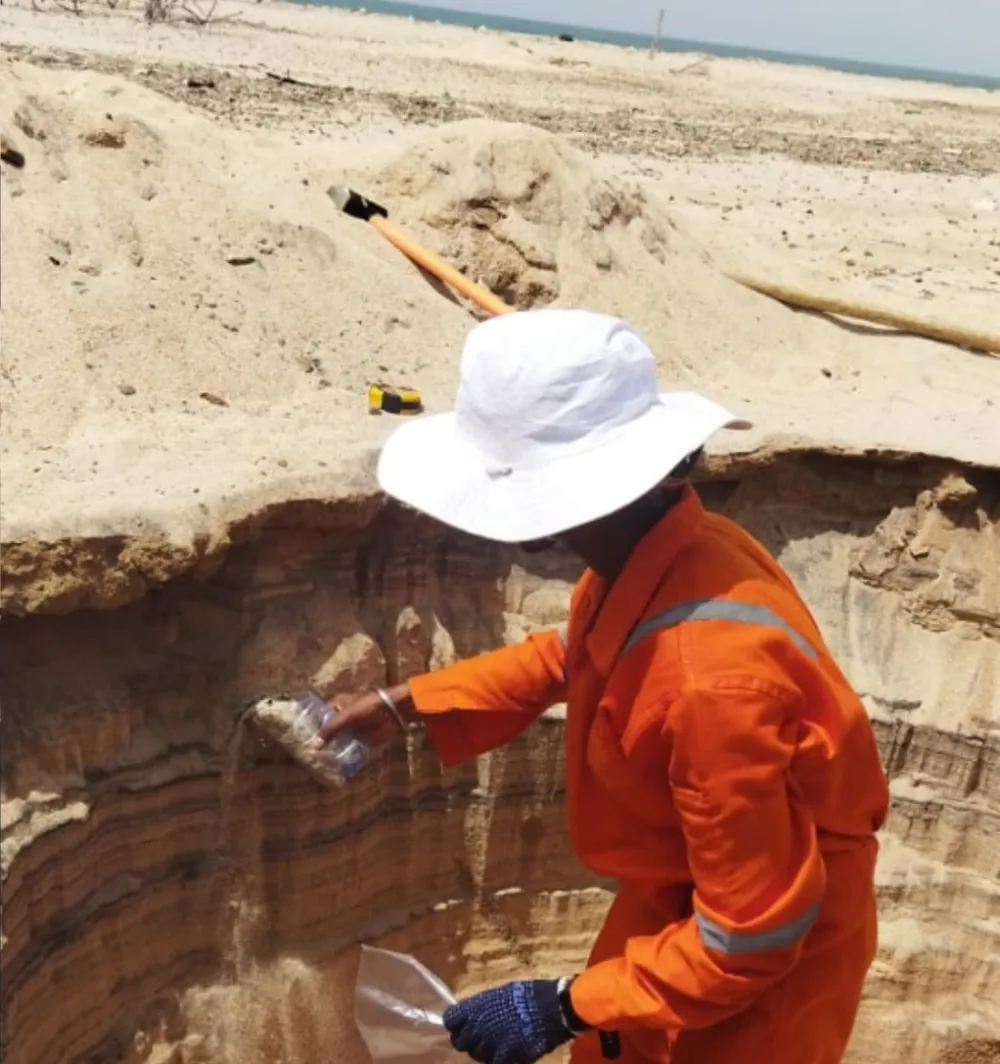 Land
LandMapping, topographic survey, drilling, sampling and resource estimation across mineral blocks.
Land environment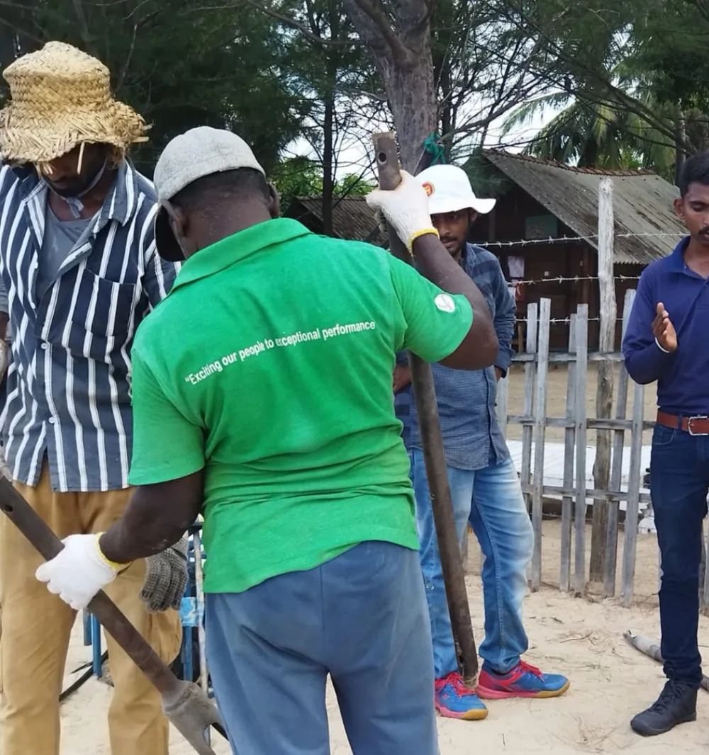 Coast
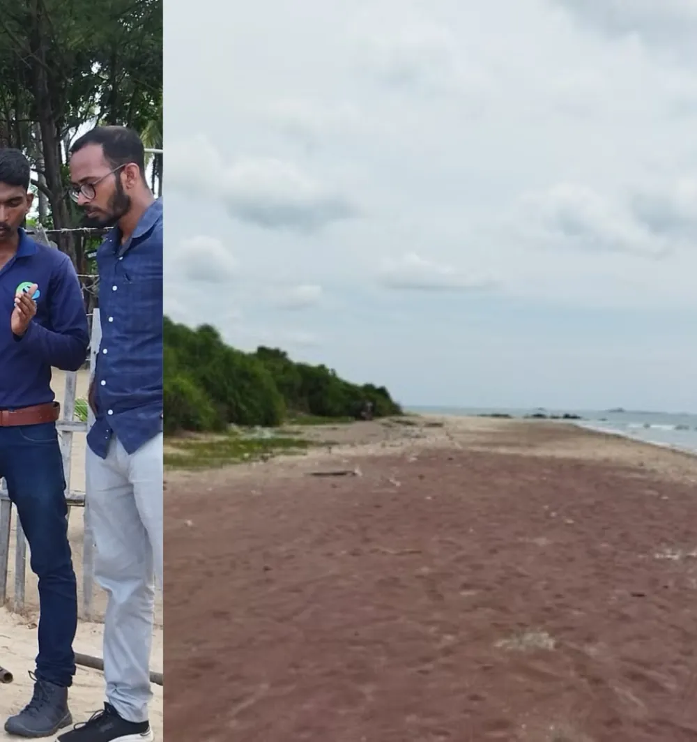
CoastBeach profiling and heavy-mineral exploration in India, Somaliland, Sri Lanka and West Africa.
Coastal environment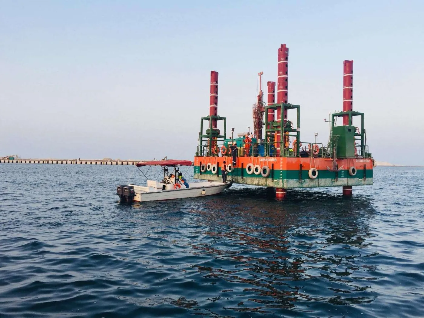 Offshore
Hydrography, geophysics and resource studies: Abu Samra sand in Qatar to Andaman Sea crusts.
Marine & offshore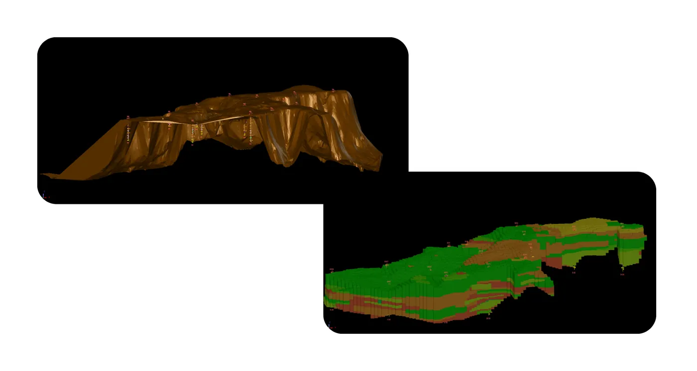 Data
Data3D geological modelling, resource estimation and strategic advice for investors and regulators.
See the workflowSelect a tile to see each project with its client, year and location.
Geo Marine Solutions carries a programme from survey through interpretation to resource assessment and advice. Every step below is backed by work in the portfolio.
Planning the programme: choosing methods, blocks and survey lines for the environment and the question.
Offshore limemud block selection for the 2024 auction.
Open this projectEcho sounders, sonar, Total Station, DGPS, drones, drilling rigs and field sampling.
Hydrographic survey plus drone topographic survey of a 132 sq km reservoir.
Open this projectBed contours, storage–elevation curves, digital charts, sample processing and laboratory studies.
Bathymetry converted to a storage–elevation curve for siltation assessment.
Open this projectGeological, geophysical and sedimentological interpretation of what the data shows.
Sub-bottom profiling interpreted for an offshore sand-supply project.
Open this projectEstimating what is there: sediment, sand, heavy minerals, critical minerals, limemud, nodules.
3D geological modelling and resource estimation of marine sand.
Open this projectCapacity, siltation, feasibility screening and scoping against the client’s objectives.
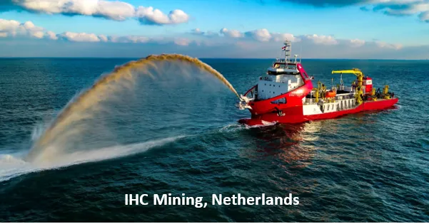
Scoping study on dredge mining of offshore limemud with IHC Mining.
Open this projectDue diligence, mining strategy and policy input for investors and regulators.
Due diligence and mining strategy for REE, Nb and Zr resources in a Rajasthan block.
Open this projectA science and technology services company with a vision to take a proactive role in nation building through the latest scientific knowledge in the Earth System Sciences.
Team leaders are former scientists of the Geological Survey of India and the National Institute of Oceanography, each with more than three decades of onshore and offshore survey and exploration experience.
To be the leading Earth Science service provider in India, with cutting-edge technologies and the latest scientific knowledge for client organisations.
To serve industry in the sustainable use of natural resources, with value-added services for natural resource management and infrastructure development.
Marine and offshore work is one major strength among several. Each card opens its own page and the projects behind it.
Hydrographic, geophysical and geotechnical work from beaches and ports to the offshore seabed.
Reconnaissance to preliminary exploration, field programmes, laboratory work and resource estimation.
Reservoirs, dams, rivers and lakes: capacity, sediment and the resources they hold.
Subsurface investigation for ports, jetties, breakwaters, dams and urban infrastructure.
Aerial, satellite and ground survey methods that turn terrain into measured volumes.
Interpretation, evaluation and technical advice that carries survey data through to decisions.
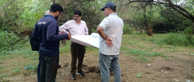
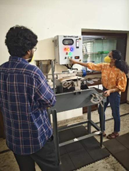
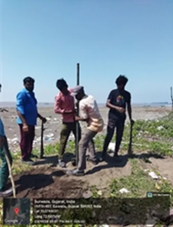
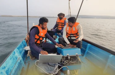
Mapping traverses, auger sampling, field verification, mineral separation and survey platforms. Open the full gallery.
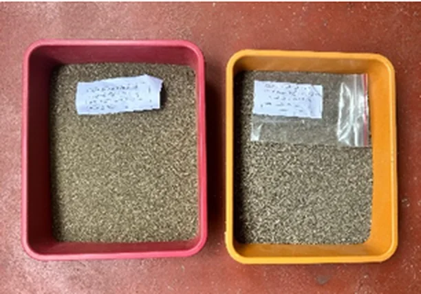
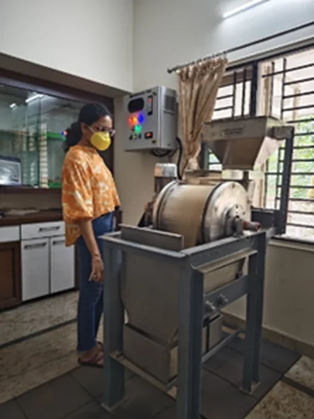
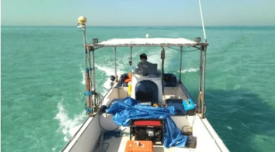
One continuous cross-section, six environments. See what the team surveys, samples and evaluates in each.
A NABET-accredited Category A exploration agency, empanelled by the Ministry of Mines. 17 critical-mineral projects, most for the National Mineral Exploration and Development Trust.
Each tile counts the projects whose titles name the method. Open the technology page.
Single-beam, dual-frequency echo sounding for reservoirs, rivers, lakes, ports and nearshore waters.
39 projectsSeabed imaging for port development and shallow-water surveys off the Tamil Nadu coast.
3 projectsSub-surface imaging for offshore sand supply in Qatar and port development at Karwar.
2 projectsBeach profiles, reservoir topography and mine-block topographic surveys.
4 projectsTopographic mapping, reservoir storage volumes and legacy-waste volume estimation. UAV magnetic, EM and radiometric surveys with Radai Oy.
11 projectsSynthetic-aperture radar for reservoir sedimentation assessment, for the Central Water Commission.
1 projectOrebody and sediment-body modelling with resource and reserve estimation.
2 projectsAuger, SPT and offshore drilling, exploratory bores, vibrocoring and sediment coring.
6 projectsGrab and grid-based sampling, granulometry, sample processing and mineral separation by magnetic and gravity methods.
6 projectsMarine geophysical and magnetic data interpretation for exploration and ground investigation.
7 projectsGIS-supported fisheries mapping and digitisation of bathymetric charts and maps.
3 projectsPredictive modelling for base metals and lithium, with ZIRAAF International, Dubai.
1 projectGovernment departments, research institutions, universities, ports, mining and engineering organisations, and private and international clients. Browse every project.
Select a year to list its projects. Bars are counted by project start year.
Choose a sector to see the projects behind it. A project can serve more than one sector. All industries.
Exploration, resource estimation and due diligence.
33projectsHydrographic, geophysical and ground investigations.
6projectsBeach profiling, protection programmes, breakwaters.
19projectsRivers, lakes and reservoirs: bathymetry and sediment.
36projectsStorage capacity, siltation and safety-related surveys.
27projectsOffshore geophysics, geotechnics and resource studies.
28projectsMarine ecology, EIA data and waste-volume estimation.
12projectsSubsoil and geotechnical investigation for construction.
30projectsMinistries, state departments, PSUs and agencies.
59projectsInstitutes and universities as clients and collaborators.
18projectsEvaluation and advisory from survey data to strategy.
43projectsQatar, Somaliland, the West African coast, Thailand and Sri Lanka, with an office in Ghana for West Africa operations.






Tell us about the site, environment or resource. We will come back with a proposed approach.